- Read offline
- Access all content
- Use the in-app Map to find sites, and add custom locations (your hotel...)
- Build a list of your own favourites
- Search the contents with full-text search functionality
- ... and more!
Barberino di Mugello
Up to the Passo della Futa

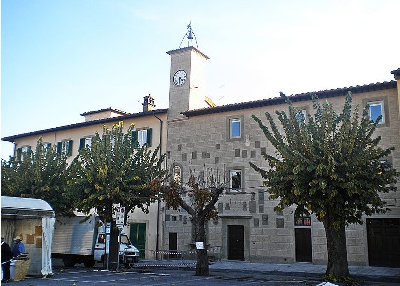
Just off the autostrada, the largest town on the western rim of the Mugello basin is Barberino di Mugello, a market town spread under the Castello dei Cattani. Barberino’s 15th-century Palazzo Pretorio, like many in the region, is emblazoned with coats of arms; nearby stands yet another work by Michelozzo, the open Loggie Medicee.
On SS65, 5km from Barberino at Colle Barucci, stands one of the grandest estates in the Mugello, the Villa delle Maschere (‘of the masks’).

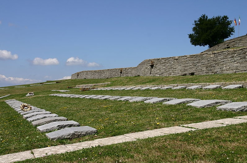
Continue 14km north for the breathtaking views from the Passo della Futa (903m/2,962ft), a pass on the principal Apennine watershed. Not surprisingly, in 1944, the pass was the Germans’ strong point on the Gothic Line – until the allies rendered it useless by capturing Firenzuola to the north. The largest German war cemetery in Italy is here, with some 30,000 soldiers who died in campaigns across the peninsula.
Beyond the pass the road winds under the craggy Sasso di Castro (1,276m/4,185ft); at La Casetta you can turn off for Firenzuola (or hotfoot it over the mountains in time for dinner in Bologna, the culinary capital of Italy)
Images by Massimilianogalardi, Creative Commons License, Philipp Pilhofer, Creative Commons License

